
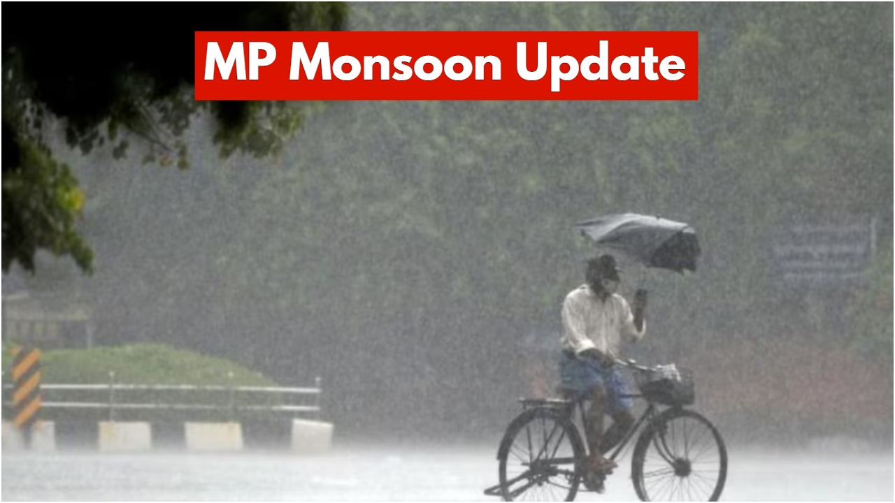
New Delhi: Some parts of Madhya Pradesh are also experiencing the harsh effects of a severe cold wave these days, causing difficulties for the people. Dense fog blanketed several areas in the morning, causing problems for motorists. On the other hand, some areas received relief from the biting cold due to the activation of a Western Disturbance.
The lowest night temperature in the state was recorded at 5.1 degrees Celsius in Mandsaur on Wednesday. Gwalior also experienced light fog. The highest daytime temperature was recorded at 29 degrees Celsius in Mandla. The Indian Meteorological Department (IMD) has issued a warning of thunderstorms and lightning in several parts of the state.
Read More: OnePlus 15T Phone Likely to Debut in March 2026- Expected to Get a Compact 6.32-inch Display & an 8 Elite Gen 5 Chipset.
Read More: OPPO Find N6 Phone Confirmed to Support 80W Fast Charging- Check Its Expected Features, Price & Launch Date.e
Weather forecast for the next three days
According to the Indian Meteorological Department, the weather is likely to change significantly over the next two to three days. Some parts of the Gwalior and Chambal divisions of Madhya Pradesh may experience rain, while strong winds are also expected in some areas. Moderate fog is anticipated in Gwalior, Datia, Chhatarpur, Tikamgarh, and Niwari.
According to the IMD, a Western Disturbance is currently located over northern Pakistan as an upper-air cyclonic circulation. A trough is also associated with it. An upper-air cyclonic circulation is also likely to form over northwestern Uttar Pradesh. Temperatures may drop in areas receiving rainfall.
Read More: Flipkart Republic Day Sale – Buy Google Pixel 9a for Just Rs 35,000 with Many Discounts Also Available!
Read More: Vivo X200T smartphone with a powerful processor and Zeiss camera will soon be available.
Weather in other regions
The IMD reports that another Western Disturbance is developing as an upper-air cyclonic circulation over northeastern Iran. Additionally, jet stream winds are blowing at a speed of 22 kilometers per hour at an altitude of 12.6 kilometers over northeastern India.
Furthermore, a new Western Disturbance is expected to affect northwestern India from January 26th. According to senior weather specialist VS Yadav, the continuous arrival of Western Disturbances suggests that the intense cold is likely to persist for some time. As the Western Disturbance moves eastward, a drop in nighttime temperatures is expected after three days. Along with this, some areas in Gwalior and the Chambal region may experience rainfall.
Snowfall in the Mountains
Heavy snowfall is occurring in the hilly regions of Himachal Pradesh, Uttarakhand, and Jammu and Kashmir. Intense snowfall is expected to continue for the next few hours. Due to the snowfall, icy winds have caused a drop in temperatures in the plains, leading to colder conditions.
Comments are closed.