
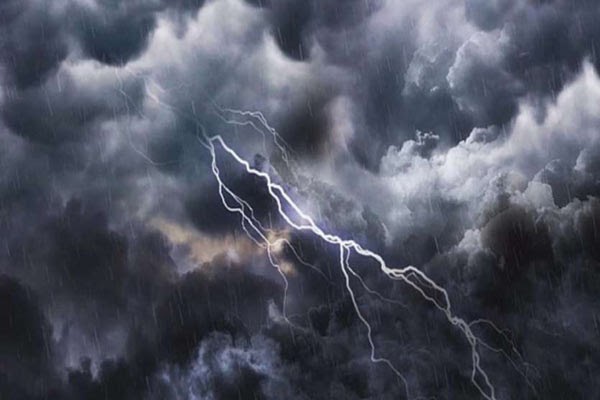
Lucknow. The weather is going to take a turn once again in Uttar Pradesh. After the scorching heat and increasing heat of the past few days, people are now getting signs of relief. According to the Meteorological Department, a new western disturbance is going to be active in the state soon, the effect of which will be clearly visible in the coming days. Due to this, storm, strong winds and rain may start in many districts.
Situation will start changing from Sunday evening
Meteorologists say that at present the temperature will continue to rise slightly, but the weather pattern will start changing from Sunday evening. Many districts including the capital Lucknow will start becoming cloudy and there is a possibility of rain within the next two to three days. This change can provide a lot of relief to people suffering from scorching heat.
New system will be activated from May 4
According to scientists, a new western disturbance will become active from May 4. Due to its effect, rain and thunderstorms along with strong winds can be seen in many parts of the state. Its impact is likely to be greater especially in Terai and eastern areas.
Signs of more rain than normal in May
According to the Meteorological Department, most parts of the state may receive more rainfall than normal in the month of May. This will reduce the effect of heat to some extent. However, in some areas the temperature may remain normal or even higher.
Why is there news of relief for the people?
This change in weather will bring relief from the heat in the coming days. Due to this period of storm and rain, the temperature will come down, due to which common people will also feel relieved. However, it has been advised to be cautious in view of the possibility of strong winds and lightning.
Comments are closed.