
Monsoon wreaks havoc from Maharashtra to MP-Rajasthan, 50kmph winds blow away everything
Monsoon Update: Monsoon has entered four more states of the country, Tripura, Nagaland, Assam and Arunachal Pradesh on Sunday. In Maharashtra it has now advanced only to the South Konkan region. Due to its impact, heavy rains have been predicted in Sindhudurg and Ratnagiri till June 9, although rain activities are expected to remain weak in Maharashtra till next week.
Heat havoc in many parts
According to the Indian Meteorological Department (IMD), due to active monsoon, many parts of Kerala, Karnataka, Goa and Tamil Nadu are receiving continuous rain. On the other hand, in Chennai, the capital of Tamil Nadu, the temperature has been recorded above 40 degrees Celsius for the fifth consecutive day, due to which the effect of humidity and heat has increased.
Winds at a speed of 50 KM per hour
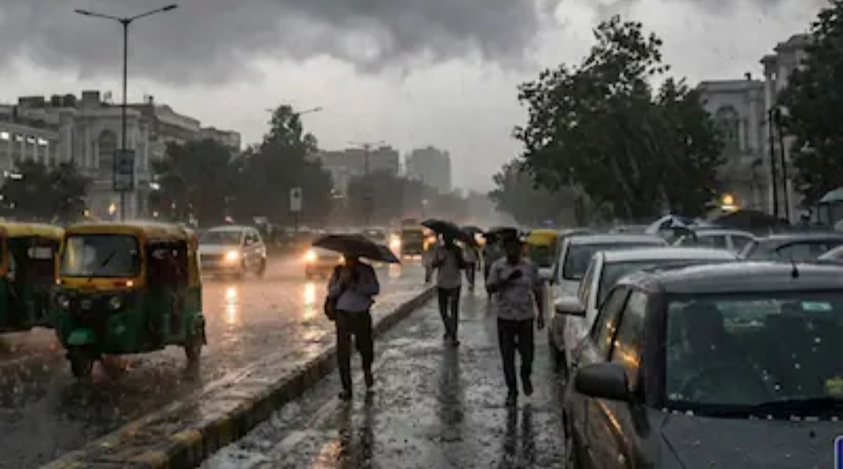
Pre-monsoon rains are continuing in most parts of the country, except Gujarat. Heavy rain was recorded at many places in the north-eastern states including Madhya Pradesh, Uttar Pradesh, Rajasthan, Bihar, Jharkhand, Haryana and Himachal Pradesh on Saturday. In Madhya Pradesh, four districts including Bhopal were lashed by strong winds at a speed of about 50 kilometers per hour, while in Bikaner, Rajasthan, there was rain along with hailstorm. Rain was also recorded in Mau and Ghazipur of Uttar Pradesh.
Monsoon starts in Kerala on June 4
Monsoon has gained momentum after a delay of three days and has reached seven states within four days. On Saturday, it reached Andhra Pradesh, Maharashtra, Mizoram and Manipur, while earlier on Friday, monsoon had arrived in Karnataka, Tamil Nadu and Goa. Monsoon started in Kerala on June 4.
IMD estimates that monsoon may reach parts of West Bengal along with the entire northeastern states in the coming three days. After this, there is a possibility of its expansion to Bihar, Jharkhand and Odisha in the next 10 days.
The pace of monsoon is slow in these states
According to Skymet Weather meteorologists, the pace of monsoon may remain slow over Madhya Pradesh, Chhattisgarh, Odisha and West Bengal for the time being, as there is no strong weather system active in the Bay of Bengal to push it further.
Will have a big impact on temperature
Meanwhile, in the report of the European Meteorological Agency, it has been said that the process of formation of El Nino has started in the Pacific Ocean. According to the latest data, the sea surface temperature has reached above the level which is considered the beginning of El Nino. Scientists estimate that by December, sea temperatures may rise by about 3 degrees Celsius above normal, which is likely to have a major impact on global temperatures.
Warning of rise up to 4 degrees Celsius
Experts say that if this situation continues, this time’s El Nino may be more impactful than that of 2015-16 and 1997-98. In previous events, the Nino 3.4 index had increased by an average of 2.3 degrees Celsius, while some estimates are warning of a rise of up to 4 degrees Celsius this time, which is being considered a serious climate signal.
Comments are closed.