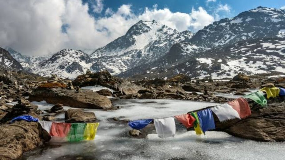
Amidst the catastrophic effects of global warming and climate change, the threat of a very serious natural disaster is increasing in the Himalayan region. A joint scientific study by the International Center for Integrated Mountain Development (ICIMOD) and the Government of Nepal has revealed shockingly that 47 glacial lakes in the Hindu Kush Himalayan region are now dry. "potentially dangerous" (Potentially Dangerous Glacial Lakes – PDGLs) category. Leakage or sudden breach in the natural dams of these lakes has created a serious threat of catastrophic flood caused by 'Glacial Lake Outburst Flood' (GLOF). If any of these lakes burst, its direct impact could be felt in Nepal's major river valleys, hydropower projects, dense settlements and downstream to India's border lowlands. 21 lakes in Nepal and 25 on Tibet border: Challenge of transboundary deluge Of the 47 highly vulnerable glacial lakes identified by scientists, 21 lakes are geographically located within Nepal, while 25 lakes are present in China's Tibet Autonomous Region (TAR) and one lake falls in India's contiguous zone of influence. The biggest concern is that all these glacial lakes located in Tibet are at the headwaters of major rivers, which flow directly south and enter Nepal. The structure of the mountainous terrain is such that if the natural shore of any lake located on the Tibetan Plateau breaks, a huge flood of water will enter the settlements of Nepal through narrow valleys within a few minutes without any prior warning. This transboundary situation makes the need for real-time disaster warning and data sharing between the two countries even more sensitive. What is GLOF and why are moraine dams becoming 'time bombs'? Glacial Lake Outburst Flood (GLOF) is a situation when the natural barrier (moraine) around a lake formed by the melting of a glacier suddenly collapses. Moraine is actually a natural dam made of a weak mixture of soil, stones, sand and ice carried by the glacier. Due to rising temperatures and rapidly melting glaciers, the volume of water in these lakes is continuously increasing. When events like avalanches, heavy landslides or cloudbursts occur in these lakes, the weak moraine dams are unable to withstand the heavy pressure of water and suddenly burst. This results in a massive debris flow consisting of millions of cubic meters of water, boulders and silt rushing downstream, which has the potential to wipe out bridges, roads, dams and entire villages in its path. Kosi basin most vulnerable: 85 per cent risk concentrated in eastern and central Nepal According to geospatial and hydrological analysis, more than 85 per cent of the total risk identified at the regional level is concentrated in the Kosi and Bagmati river basins of eastern and central Nepal. There are 42 potentially dangerous lakes located in the Kosi basin alone. Doodh Koshi and Imja basins under Solukhumbu district fall in the extremely high risk zone. Sankhuwasabha district is directly at risk due to the Barun and Arun river valleys. Dolakha district is located near the Tama Koshi corridor, where there is heavy pressure from the Tsho Rolpa glacial lake. Sindhupalchok district, which lies along the Bhote Koshi and Sun Koshi river valleys, is considered to be the most vulnerable to floods originating from the lakes of Tibet across the border. Apart from this, the settlements of Ramechhap, Kabrepalanchok and Trishuli river basin of Rasuwa district are also under threat. Shadow looms over the Gandaki and Karnali basins of western Nepal. This danger is not limited to the eastern region only, but the situation is also serious in the Gandaki and Karnali river basins of western and far-western Nepal. Manang and Lamjung districts lie in the Marsyangdi River basin just below Thulagi Lake. Gorkha district falls in the potential flood impact zone through the Budhi Gandaki basin and Mustang and Myagdi districts fall through the Kali Gandaki basin. The remote Limi Valley and Humla Karnali Corridor of Humla district, located in the far north-west, have difficult geographical conditions. Experts say that if a lake bursts in these remote areas, rescue and relief operations will become extremely complicated due to communication cuts and difficult roads. Need for immediate monitoring: Campaign to reduce water level on these 6 lakes Nepal's Department of Hydrology and Meteorology (DHM) and United Nations Development Program (UNDP) have identified 6 glacial lakes of highly sensitive category and planned emergency intervention there: Lower Barun (Tallopokhari): Rapidly expanding water reservoir in Sankhuwasabha district. Thulagi (Dona Lake): Located in the Marsyangadi corridor of Manang district. Lumding Tso: A dangerous glacial lake in the Solukhumbu region. Hongu-2 (Chamlang South): Sensitive water body located on high mountain slopes. Tso Rolpa and Imja Tso: Under constant surveillance despite previous security measures. The work of reducing the water level by controlled release of water from these lakes (Siphoning/Artificial Drainage), installation of sensor based Early Warning System (EWS) and training of local communities through mock drills is being done on priority basis. The Essential for Early Warning for Hydropower Projects and Downstream Settlements Billions of dollars of hydroelectric projects are under construction or in operation on Nepal's rivers. In case of GLOF, these power plants, turbines and transmission lines can suffer huge damage. Environmental scientists have a clear opinion that in view of the rising temperatures in the Himalayas, satellite radar monitoring, transboundary real-time data sharing and a strong disaster warning system will have to be implemented immediately, not only at the local level, so that millions of lives and infrastructure can be kept safe from any possible catastrophe.