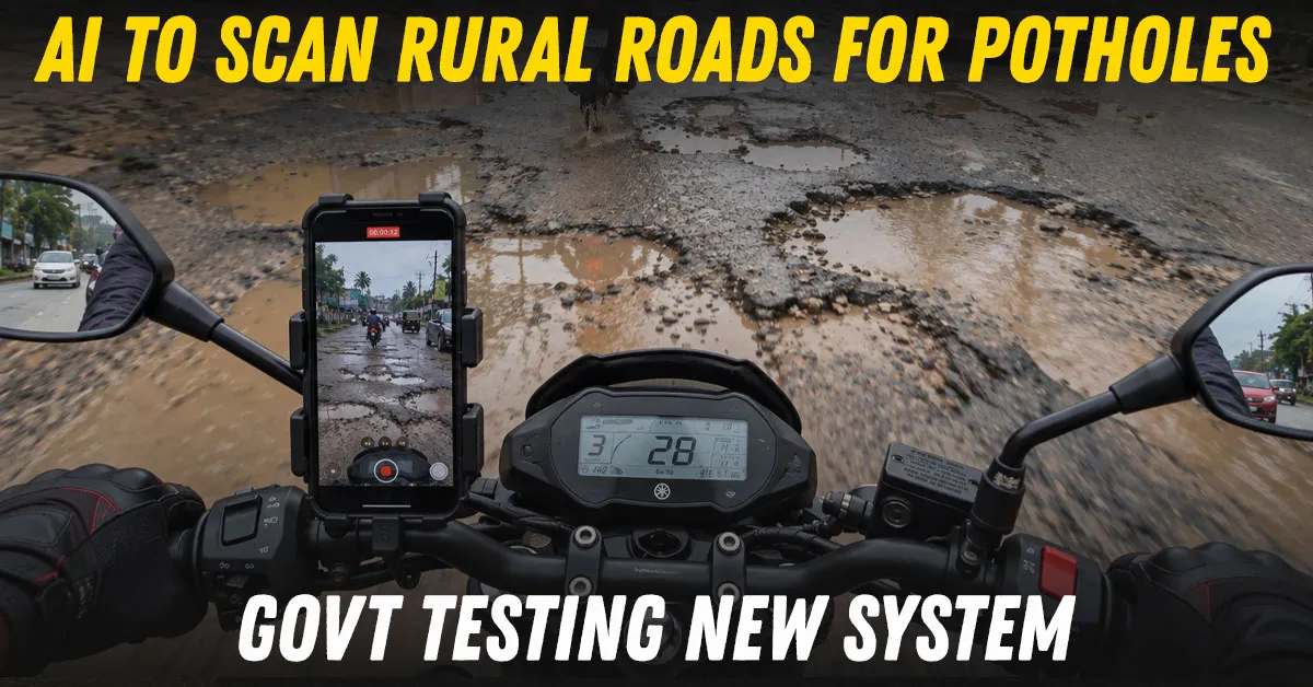
The government has started a nationwide field trial of an AI system that can spot potholes, cracks and other visible defects on rural roads from videos shot on ordinary smartphones. The system is being tested on roads built under the Pradhan Mantri Gram Sadak Yojana (PMGSY), with field validation underway since September 1.
The idea is simple: mount a phone on a vehicle, record the road while driving, and let an AI model flag likely defects for inspection. The system has been developed by the Centre for Development of Advanced Computing with the National Rural Infrastructure Development Agency. It is not replacing road engineers. At this stage, every AI finding still has to be checked against a physical assessment.
The current trial is designed to identify seven visible problems: potholes, longitudinal cracks, transverse cracks, edge breaks, surface depressions, repaired patches and vegetation-related obstructions. These are the kinds of defects that can quickly worsen if they are not recorded and repaired early.
Today, PMGSY maintenance is monitored through physical inspections and geo-tagged photographs uploaded by field officials through the eMARG mobile application. The AI system adds video-based screening to that process. Programme Implementation Units are using phones mounted on vehicles they already have, so the trial does not require a new fleet of survey cars.
Dedicated dashcams could be considered later if the system moves beyond validation. That could make repeat assessments easier and more consistent, but no such rollout has yet been approved.
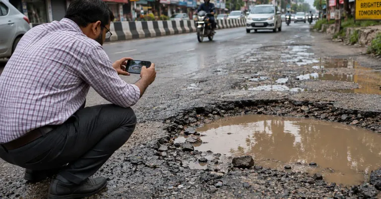
This is an important limitation. The AI output is being treated as a support tool, not as final evidence against a contractor. Engineers will physically verify defects and compare their own measurements with what the software identifies. Where the two assessments differ, those cases will be reviewed before a formal verification protocol is created.
That matters because PMGSY contracts already place maintenance responsibility on contractors during the five-year Defects Liability Period. An incorrect AI reading could otherwise trigger disputes over whether a road has failed or whether a contractor must carry out repairs.
The system was initially tested on six roads in and around Pune, Lucknow, Kamrup in Assam and Ri-Bhoi in Meghalaya. An improved model was later tested on seven roads in Kanpur district and Berasia block in Bhopal district before the wider nationwide exercise began.
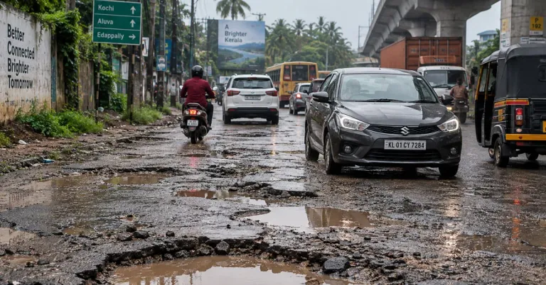
The larger opportunity is frequency. Physical inspection teams cannot continuously revisit every rural road. If a phone-based AI scan proves reliable, the ministry is examining whether roads could eventually be assessed every quarter under a technology-enabled maintenance framework. That schedule has not been finalised.
For road users, the benefit would be less about futuristic AI and more about detecting damage sooner. A pothole found when it is still small is cheaper to repair than a failed section of pavement. Repeated video scans could also create a record showing whether a defect is growing and how quickly repairs are being carried out.
The execution challenge is accuracy. Different phones, vehicle speeds, lighting, shadows, rain, road surfaces and camera angles can all affect what the software sees. Rural roads also vary widely in construction quality and surroundings. That is why the current exercise is a validation programme rather than a full deployment.
If the results hold up, the technology could give engineers a much larger set of road-condition data without replacing site inspections. The immediate change, therefore, is not that AI will decide whether a road is good or bad. It is that thousands of kilometres of road could be screened far more often, with engineers concentrating their time on the stretches the system flags first.