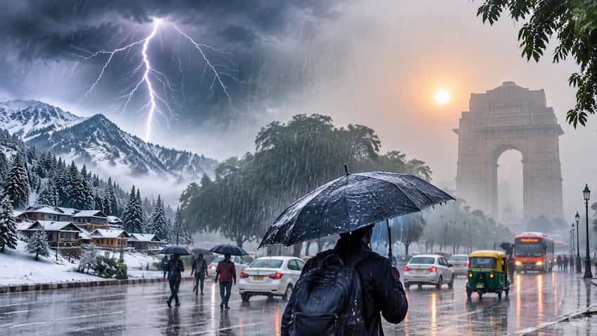
New Delhi/Lucknow: A big and rapid change is being seen in the weather across the country in mid-November. On one hand, the low pressure area formed in the south-eastern Bay of Bengal is rapidly strengthening and moving towards taking the form of a Cyclonic Storm, while on the other hand, the latest Western Disturbance active in North India has changed the weather pattern from the mountains to the plains. According to the latest bulletin of the Indian Meteorological Department (IMD), due to the impact of these dual weather systems, an alert has been issued for rain, thunder, snowfall and strong winds at a speed of 65 to 75 kilometers per hour in about 20 states and union territories of the country. From the coastal areas to the plains of North India, the temperature is falling, due to which the cold has intensified its knock. A cyclonic storm is forming in the Bay of Bengal, winds will blow at a speed of 75 KM in these states. According to the scientists of the Meteorological Department, the Well-Marked Low Pressure Area formed in the south-eastern Bay of Bengal will turn into a depression by the morning of 15 November and can take the form of a cyclonic storm in the central Bay of Bengal by the evening of 16 November. Due to its impact, a warning of strong storm with torrential rain has been issued in the coastal areas of Andaman Sea, Andaman-Nicobar Islands, Odisha, Coastal Andhra Pradesh, Tamil Nadu, Kerala and Gangetic West Bengal. Wind speed in maritime areas is expected to reach 65 to 75 kilometers per hour, with gusts reaching up to 80 kilometers per hour. Yellow alert of heavy to very heavy rainfall has been issued for Ganjam, Gajapati, Puri and Khurda districts of Odisha as well as north coastal Andhra Pradesh between November 18 and 20. The Meteorological Department has given strict instructions to fishermen to return from the sea to the shores by November 15 and not to go to the affected parts of the Bay of Bengal till November 19. Snowfall and rain on the mountains will increase the chill in the plains. Due to the new western disturbance active in North-West India, the period of rain and snowfall has started in the high altitude areas of Jammu-Kashmir, Ladakh, Himachal Pradesh and Uttarakhand. The minimum temperature was recorded below zero (-2.9 degrees Celsius) in Himachal Pradesh's Kukumseri, while the cold has increased significantly due to light snowfall and rain around Keylong, Kalpa and Rohtang Pass. The Meteorological Department estimates that the snowfall occurring in the hilly states will have a direct impact on the plains of Punjab, Haryana, Chandigarh, Rajasthan, Bihar and Madhya Pradesh in the next 48 to 72 hours. Due to north-westerly cold winds in these states, the minimum temperature may drop by 2 to 4 degrees Celsius, due to which people will start feeling the need of warm clothes in the morning and night. How will be the weather condition in Delhi-NCR, will rain provide relief from pollution? Talking about the weather of the country's capital Delhi and NCR (Noida, Ghaziabad, Gurugram, Faridabad), there are less chances of heavy rain here, although the sky may remain partly cloudy and the possibility of very light drizzle in some areas cannot be ruled out. According to IMD forecast, the maximum temperature in Delhi is expected to be around 28 to 30 degrees Celsius and the minimum temperature is expected to be between 16 to 19 degrees Celsius. There will be light haze and fog in Delhi-NCR during morning and late night. In the afternoon, winds are expected to blow from the north-west direction at a speed of about 15 kilometers per hour, due to which there may be a slight improvement in the poisonous air and AQI of the capital. Warning of dense fog and falling temperature in many districts of Uttar Pradesh. The weather is changing rapidly in Uttar Pradesh and the night temperature has fallen significantly below normal. According to the latest bulletin of Weather Center Lucknow and IMD, there is a strong possibility of dense fog in many parts of Western Uttar Pradesh between November 14 and 17 and in Eastern Uttar Pradesh during the morning hours on November 16 and 17. In most of the districts including Lucknow, Kanpur, Varanasi, Prayagraj, Meerut and Gorakhpur, there will be sunshine during the day, but as the evening approaches, melting will be felt due to cold winds. In view of the warning of dense fog, the Meteorological Department has advised people driving on national highways and expressways to be careful and use fog lights in the morning.