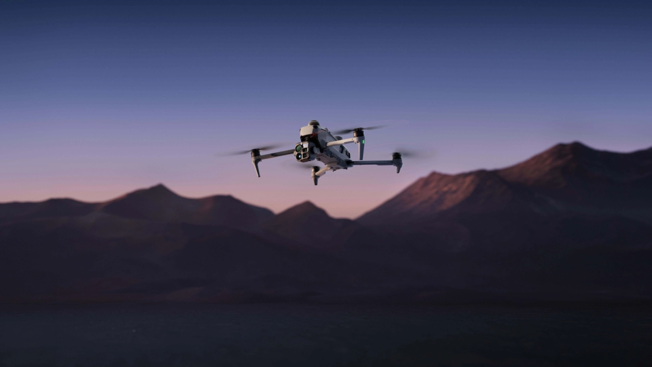
DJI officially unveiled the DJI Matrice 5T on November 5, 2026, launching a small but powerful enterprise drone suitable for rigorous professional use. Featuring a thermal imager with 1280 x 1024 resolution paired with LiDAR, millimeter-wave radar, omnidirectional vision sensing, and onboard AI, the drone has an impressive manufacturer-rated flight time of up to 59 minutes and a transmission distance of up to 40km.
Instead of targeting consumers, the Matrice 5T aims at applications in emergency services, infrastructure inspections, and surveys.
Higher-Resolution Thermal Imaging in DJI Matrice 5T
One of the main innovations brought by the Matrice 5T drone is the thermal camera. DJI claims that the resolution of the thermal imager is 1280 x 1024, giving four times more pixels than a regular 640 x 512 thermal camera. Furthermore, its Ultra High Resolution (UHR) infrared camera produces images in a resolution of 2560 x 2048, although this mode is not to be mistaken for the sensor’s resolution. Higher-resolution thermal images might be helpful for finding the heat anomalies more precisely.
It is important for professionals who use the drone for inspecting equipment of the power utility, finding people, and checking temperature abnormalities of the infrastructure. The drone has a medium telephoto camera with 50MP resolution and 3× optical zoom and a long telephoto camera with 11× optical zoom and up to 176× hybrid zoom that can be used for detailed inspections from a distance.
LiDAR, Radar and Vision Sensing Enhance Obstacle Detection
The Matrice 5T incorporates LiDAR, millimeter-wave radar, and omnidirectional vision sensing. According to DJI, these technologies are meant to enhance sensing in complex conditions such as low visibility due to darkness, fog, rain, and dust. With LiDAR sensing, the aircraft can identify obstacles like power lines at a distance of up to 32 meters at night within the specified test conditions.
Such a feature might be useful for utility inspections because there may be hard-to-spot wires and narrow obstacles. At the same time, using radar and visual sensing, the aircraft is capable of mapping the surrounding area in some weak-GNSS environments like canyons or areas near tall buildings. But these technologies do not reduce risks and do not guarantee the safety of avoiding obstacles in all cases.
AI-Assisted Operations and Extended Transmission
The AI system aboard the aircraft recognizes more than 20 types of targets using the thermal and visible video feed. The supported targets are vehicles and vessels. Third-party AI models can be used in the drone through the onboard computing system, allowing organizations to customize workflows depending on specific tasks.
The O4 Enterprise Enhanced Video Transmission System operates in a range of up to 40km under certain conditions, exceeding the earlier generation’s claim of 25km. There are multiple ways to ensure that the relayed connection will be maintained if any terrain or obstacles obstruct direct communication. Nevertheless, despite a stated range of transmission, pilots will still have to follow appropriate aviation rules.
Flight time, weather protection and availability
DJI claims up to 59 minutes of flight time, an IP55 rating for dust and moisture resistance, and the ability to operate from -20°C to +50°C. The stated numbers were tested on a prototype in ideal conditions and can change depending on weather, payload, and mission conditions. IP55 rating doesn’t mean that the drone is water-resistant or suitable for operation in heavy rain.
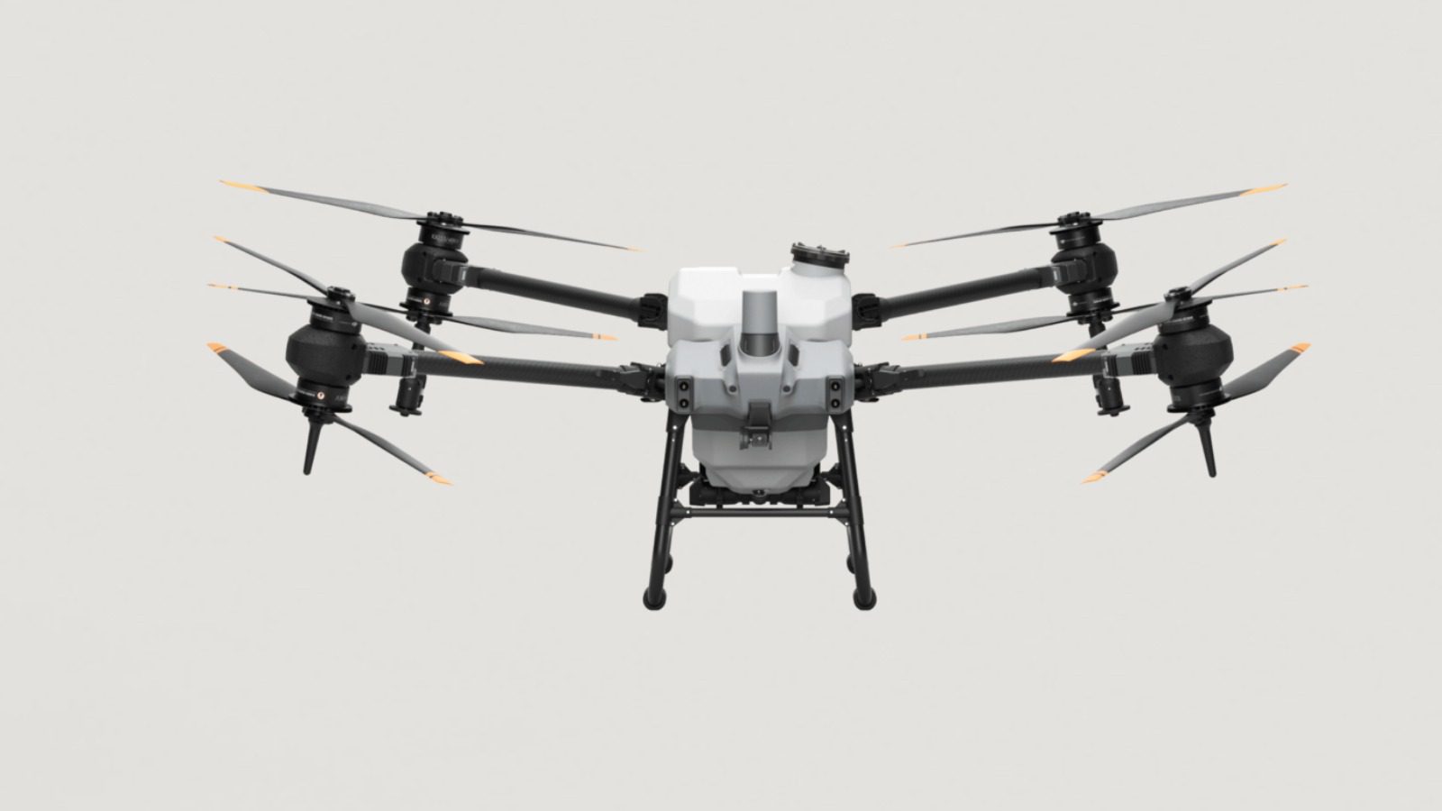
The Matrice 5T can be ordered from authorized dealers of DJI Enterprise. An official Indian price and availability weren’t confirmed by the company. Potential customers should also confirm the local permissions before commercial operation of the drone.
Conclusion
DJI Matrice 5T is a big step forward in terms of enterprise drones, providing higher-resolution thermal imaging, obstacle detection systems, and AI assistance. The drone can be used by emergency services, utility companies, surveyors, and infrastructure maintenance organizations. Nevertheless, flight time, transmission range, and sensing distance depend on the test conditions. AI recognition and sensing systems don’t guarantee perfection. Unlike the consumer camera drone, Matrice 5T is designed to serve as a specialized aircraft for professional missions.