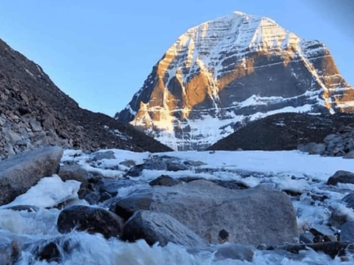
Western Tibet was rattled by seismic activity on Thursday, September 3, 2026, as back-to-back earthquakes struck the region within a span of just a few hours. Significantly, the epicenters of both tremors were located approximately 100 kilometers away from the sacred Mount Kailash and Lake Manasarovar. According to data released by India’s National Center for Seismology (NCS), local authorities have confirmed that no casualties or structural property damages have been reported thus far from the sparsely populated epicentral zone.
Chronology of the Tremors and Seismological Details
The first and more powerful earthquake struck at 1:46:38 PM, registering a magnitude of 5.0 on the Richter scale with a shallow depth of approximately 14 kilometers. Roughly two hours later, at 3:42:30 PM, a second tremor measuring 3.4 magnitude hit at a depth of roughly 10 kilometers near coordinates 31.472 degrees north and 80.356 degrees east. Because the epicenter of the second shock was situated merely one and a half kilometers away from the first, seismologists have classified it as a direct aftershock. Because both events occurred at shallow depths of 10 to 14 kilometers—meaning seismic energy had a very short distance to travel to the surface—ground shaking would have been sharp locally, though its impact was heavily mitigated by the remote, low-density population of the Ngari region.
Why Seismic Activity Occurs in the Tibetan Plateau
Tibet and the broader Himalayan corridor remain one of the most seismically volatile zones on the planet due to continuous tectonic shifting. The relentless northward movement and ongoing collision of the Indian land plate against the Eurasian and Tibetan plates formed the majestic Himalayan mountain range, a process that continues to generate massive underground tectonic pressure today. While compression drives mountain building, certain sectors of Tibet experience crustal stretching that forms deep subterranean faults and triggers recurring moderate-to-high magnitude earthquakes. Seismologists have clarified that these western Tibet tremors are entirely distinct from recent seismic events near Nepal, representing localized tectonic adjustments rather than a cascading regional fault rupture.
Safety Status of Pilgrims and Historical Context of Regional Earthquakes
Authorities have confirmed that the Kailash Mansarovar Yatra route and regional pilgrims remain entirely unaffected and safe, with no disruptions reported across nearby border regions of Ladakh, Himachal Pradesh, or Uttarakhand. While India’s northern Himalayan belt—spanning Jammu and Kashmir, Ladakh, Himachal Pradesh, Uttarakhand, Sikkim, and the northeastern states—remains classified under high-risk seismic zones, the remote geography of the Ngari region prevented any major crisis. However, the region’s vulnerability underscores historical precedents, recalling the devastating 7.1 magnitude earthquake that struck the Dingri region of Tibet on January 7, 2025, which tragically claimed over 126 lives and damaged thousands of homes north of Mount Everest.