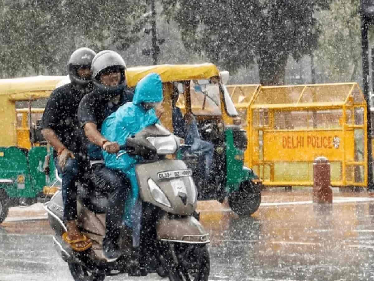
The 2026 monsoon season delivered a fascinating climatic paradox across northern India, proving that complex meteorological phenomena can yield unexpected localized results. As of September 16, the national capital recorded 8 percent more rainfall than normal, standing in stark contrast to its surrounding meteorological subdivisions. While Haryana faced a 23 percent deficit and the broader northwest India region experienced a 10 percent shortfall, Delhi found itself uniquely positioned on the edge of a bountiful monsoon zone, even as neighboring districts and states grappled with dry spells.The Role of Bay of Bengal Low-Pressure Systems and El NiñoThe unusual precipitation pattern was largely influenced by the interplay between a strengthening El Niño and shifting atmospheric dynamics. Meteorological studies indicate that during El Niño years, the frequency of moisture-laden low-pressure systems and depressions originating from the Bay of Bengal can actually increase rather than decline. This season saw the formation of 10 low-pressure systems, including four depressions during July and August. Because descending air masses over southern latitudes shifted the typical tracks of these systems northward—entering through northern Odisha and Bengal and tracking northwestward—states like Odisha, Jharkhand, Uttar Pradesh, Uttarakhand, and Delhi received substantial rainfall, while Rajasthan, Haryana, and Punjab remained relatively untouched.Climate Change and Western Disturbances Amplify RainfallCompounding this effect was another critical driver linked to global warming: the delayed retreat of the jet stream, which allowed unseasonable western disturbances to interact with active monsoon currents. Typically rare during the peak monsoon months, 16 western disturbances were recorded between June and August, with half occurring in August alone. This rare convergence sparked intense downpours in Delhi on key dates such as July 8-9, July 29, August 7-8, and August 25. While this dual-system interaction brought much-needed relief and excess rain to the capital and western Uttar Pradesh, it also triggered severe cloudbursts and flash floods across vulnerable hill regions like Himachal Pradesh and Jammu and Kashmir.