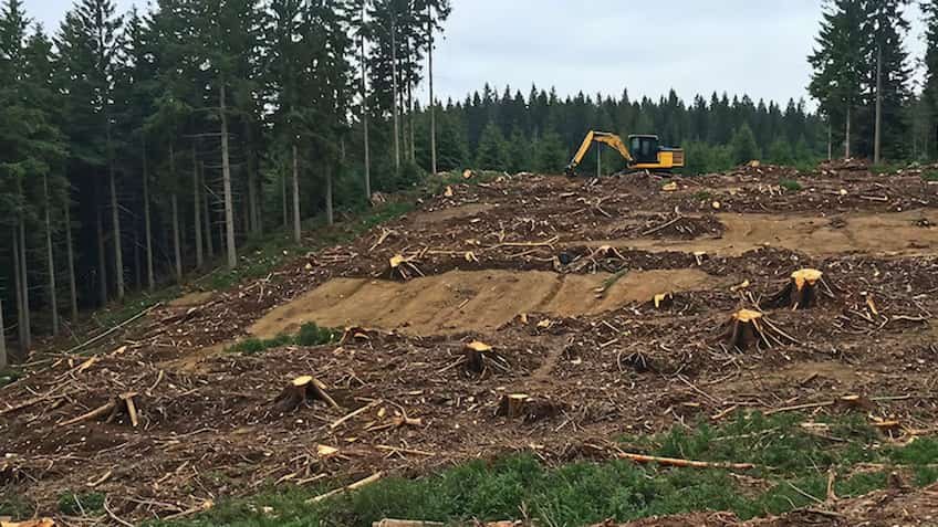
The state government has taken a very tough stance regarding the increasing encroachment on government lands, footpaths and forest department properties in West Bengal. Following the strict instructions of Chief Minister Mamata Banerjee, the Land & Land Reforms Department and the Urban Development Department have jointly prepared an action plan to conduct a special and comprehensive survey (Mega Survey) in the entire state. The main objective of this campaign is to identify all those lands under the jurisdiction of various departments of the state government, municipalities and panchayats, which have been illegally occupied by land mafias, builders or local influential people for years. The government has made it clear that encroachment of any kind on government property will not be tolerated and the identified lands will be freed and reserved for public welfare schemes.
This time the land survey will not be done through old paper methods, but with the help of state-of-the-art digital technologies so that there is no scope for human interference and disturbance.
-
Drone based 3D mapping: Aerial survey of government plots in urban and rural areas will be conducted with the help of high-powered high-resolution drones. These drones will create real 3D images of every inch of the land, making it clear how much and where construction has taken place outside the approved map.
-
Satellite Imagery and GIS Mapping: Digital maps will be prepared through the National Remote Sensing Center and the Geographic Information System of the state. These maps will be digitally superimposed (matched) with old land records (RS and LR records).
-
Geo-fencing and digital tagging: As soon as the survey is completed, digital demarcation or geo-fencing of all government properties will be done. Its advantage will be that in future if someone tries to construct or occupy within that fixed digital limit, the system will immediately issue an alert.
This mega campaign of the state government is being started from those major industrial and urban clusters where land prices are skyrocketing and maximum complaints of encroachment have been reported.
-
Kolkata and Salt Lake: A thorough digital survey of government lands around the major bypasses of the metropolis, Rajarhat, New Town and East Kolkata Wetlands will be conducted.
-
Howrah and Hooghly Industrial Belt: Land mafia keeps an eye on closed old mills and open lands of government institutions. A separate digital database of all these lands is being prepared.
-
North Bengal (Siliguri and Jalpaiguri): Drone monitoring of encroachments on Forest Department and Revenue Department lands around tea gardens and tourism related areas will begin.
-
Asansol and Durgapur: A special task force has been formed to vacate illegal warehouses and sheds built on the properties of Municipal Corporation and Mineral Development Corporation.
To make the post-survey action transparent and fair, special task forces are being formed at the district level, which will include District Magistrate (DM), Superintendent of Police (SP) and chief officers of the municipal body. The government has directed the officials to first give formal legal notice to the lands whose possession is certified in the technical survey. If the encroachment is not removed within the stipulated time, the illegal structure will be demolished in the presence of police force. Apart from this, action will be taken to attach property by registering FIR under non-bailable sections against land mafias and corrupt officials involved in fake registration of government lands or selling them illegally.
During this stringent campaign, the government has also ensured that no innocent or poor street vendor has to face undue hardship. As far as possible, separate ‘vending zones’ are being arranged for small vendors established for years so that there is no loss of livelihood. At the same time, a dedicated online portal and helpline number is also being started to provide information about illegal occupation of government land directly to the administration. Citizens will be able to upload pictures and location of encroachment on this portal anonymously, after which the drone team will go to the spot and do digital verification immediately.