Sriharikota, Sept 4:
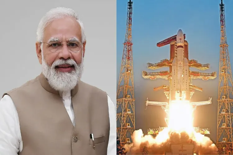
India’s space programme achieved a major success early Friday as the Indian Space Research Organisation (ISRO) successfully launched the GSLV-F17 carrying the advanced Earth observation satellite EOS-05 from the Satish Dhawan Space Centre in Sriharikota.
The 51.7-metre-tall rocket lifted off at 2.55 am after a 27.5-hour countdown and precisely placed the 2,367-kg satellite into its designated Sub-Geosynchronous Transfer Orbit (Sub-GTO).
EOS-05 is India’s first imaging satellite designed to operate from geosynchronous orbit. Once it reaches its operational position, nearly 36,000 km above Earth, it will provide a wide and persistent view of the Indian region.
The satellite carries advanced imaging capabilities covering visible, infrared, multispectral and hyperspectral bands. Its frequent observations are expected to strengthen applications in agriculture, disaster management, environmental monitoring and natural resource assessment.
At 2,367 kg, EOS-05 is the heaviest satellite launched by a GSLV into a GTO or Sub-GTO orbit, marking a significant advancement in India’s launch capabilities.
ISRO Chairman V. Narayanan described the injection as precise and said the satellite was in good health after separation, with its solar panels successfully deployed.
The mission also demonstrates the growing capability of India’s three-stage GSLV. The launcher has a liftoff mass of about 420.5 tonnes and uses an indigenous cryogenic upper stage.
Friday’s launch was the 19th GSLV mission and comes five years after the unsuccessful GSLV-F10/EOS-03 mission in 2021.
Narayanan said the agency has a busy launch schedule ahead, with six more launches planned from Sriharikota during the current financial year. He credited ISRO scientists, industry partners and academic institutions for the mission’s success.
Prime Minister Narendra Modi congratulated ISRO, calling the achievement another proud moment for India and highlighting the growing strength of the country’s space sector.
With EOS-05, India has added a powerful new capability to its Earth observation network, enabling a more continuous and detailed view of the country and surrounding regions from space.