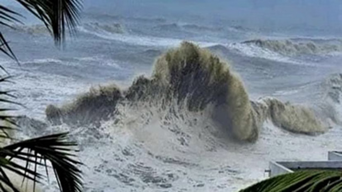
Miami. Hurricane Simon is headed toward a portion of Mexico's Pacific coast on Friday and is expected to intensify further. US meteorologists issued hurricane warnings for parts of the central and southwest coast, where strong hurricane-force winds are expected within 36 hours.
The U.S. National Hurricane Center in Miami said Simon had maximum winds of 120 km/h (75 mph) early Friday and was moving northwest at 7 km/h (5 mph).
It was expected that this Category 1 storm would turn north early Saturday and reach close to the coast. Simon was expected to rapidly strengthen and become a Category 4 hurricane before making landfall. Category 4 hurricanes on the Saffir–Simpson scale have maximum wind speeds of 210–250 km/h (130–156 mph).
Simon's center was about 355 kilometers (220 mi) south of Manzanillo and 525 kilometers (325 mi) south-southeast of Cabo Corrientes. Tropical storm-like conditions are likely to develop along the coast later Friday.
Simon is expected to produce heavy rainfall, which could cause flooding and landslides. U.S. weather experts said 20 to 38 centimeters (8 to 15 inches) of rain could fall in southwestern Mexico, and some areas could see up to 63 centimeters (25 inches) of rain.
Farther north, Tropical Storm Rachel is expected to reach Baja California, northwestern Mexico and Southern California this weekend. It had sustained winds of 95 km/h (60 mi/h) and was forecast to weaken, although it could still bring heavy rainfall to the area.
Tropical storm activity has been above average in the Pacific this season due to a strong 'El Nino' effect.
This climatic phenomenon generally reduces hurricane activity in the Atlantic. Hurricane Isaias, which was expected to hit the US Gulf Coast late Friday or Saturday, formed more than four months after the Atlantic hurricane season began.