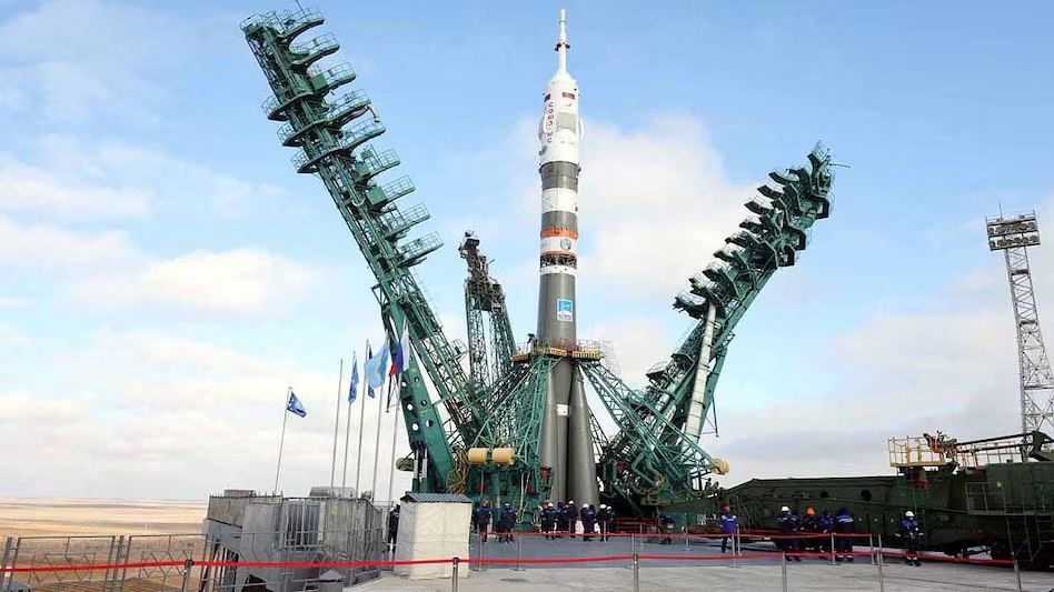
New Delhi: Russia has recently launched a new Earth Observation Satellite. Whose image resolution is said to be 50 centimeters per pixel. This satellite is named 'KOEN' and has been developed by private company MT-Lab. It was launched along with another satellite 'Kinosputnik' on a Soyuz rocket from Vostochny Cosmodrome on 14 November 2026.
One can take pictures of the ground at 0.5 meter resolution while the other one has 0.8 meter resolution. 50 cm resolution means that objects up to half a meter in size can be identified in a satellite image. This makes it possible to identify vehicles, large equipment or structures.
According to reports, AI algorithms have also been installed in it which can help in analyzing photographs. The satellite can take pictures of about 15 million square kilometers area annually. Its swath width is about 12 kilometers. It is said to be designed for commercial and civilian uses, such as construction monitoring or infrastructure control.
Discussion in the context of Ukraine war
It is being claimed in social media and some reports that Russia will be able to take detailed pictures of Ukraine from this satellite. With the help of AI, capabilities like identifying soldiers or small groups hidden near trees and tracking the routes of important vehicles are being said. However, it has not been confirmed by official sources whether this satellite is mainly focused on military surveillance or Ukraine. This is a private satellite. The government decides the rules for purchasing its photographs. Commercial satellites with 30–50 cm resolution from companies like Maxar are already in widespread use by both sides and open-source analysts in the Ukraine war.
High resolution satellites are important for intelligence in war. They help in detecting changes in troop movements, equipment status and infrastructure. Combined with Artificial Intelligence, this process can be speeded up. But a single satellite is limited in real-time tracking or accurate identification of individuals hiding under trees.
Obstacles like clouds, night time, camouflage and satellite retrieval lag remain. Russia already has military satellites and is also increasing its activities near Western satellites linked to Ukraine. This new launch is a sign of increasing Russia's space capability, but its immediate impact on the battlefield may be limited. Overall, this development shows how important satellite imagery and AI have become in modern warfare. Both sides are increasing their capacity in this area. Further monitoring will reveal how much actual use of the Koen satellite remains military or civilian.