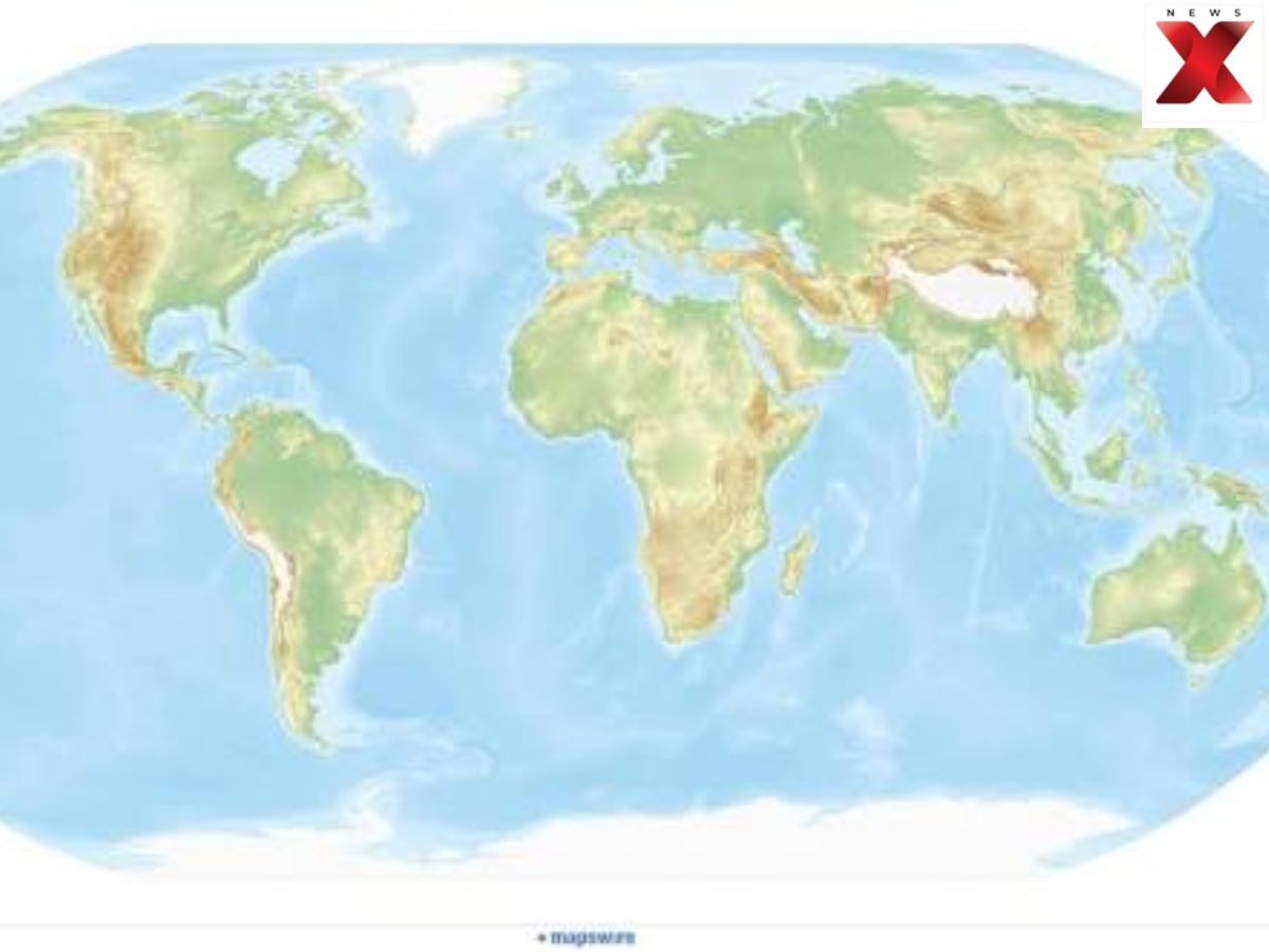
The United Nations General Assembly is set to vote on a resolution that could push the world towards a new way of drawing the World map, arguing that the familiar Mercator projection gives a distorted picture of the size of countries and continents. The vote, scheduled for Friday, calls for governments, schools, international organisations and technology companies to use the Equal Earth projection and other equal-area maps where showing the true scale of land matters. It does not propose banning the Mercator projection.
The debate is largely about what people see when they look at a World map. The Mercator projection becomes increasingly distorted away from the equator. Africa, which straddles the equator, therefore appears much smaller than its actual size, while Europe, North America, Greenland and Russia look far larger. Africa is shown as roughly comparable in size to Greenland even though the continent is 14 times larger than the Danish territory.
World map debate: why the UN wants a more accurate picture of countries and continents
The proposed change is not simply about replacing one map with another. Supporters argue that the World map people see in classrooms, institutions and digital platforms can influence how they understand the world and its geography.
Togo brought the resolution with the backing of the African Union. Togo’s Foreign Minister Robert Dussey did not give a figure for the number of countries supporting it, but urged African delegations to build the widest possible backing before Friday’s vote. He described the vote as a test of Africa’s ability to act with one voice at the UN.
World map changes: what Equal Earth would show differently from Mercator
The campaign favours the Equal Earth projection, developed in 2018 by an international team of cartographers. Unlike the Mercator World map, Equal Earth is an equal-area projection designed to show continents in more accurate proportion to their real size.
The issue has also been tied to concerns over how maps shape perceptions. In a briefing to the African Group at the UN, Dussey said: “A map is never neutral. It shapes perceptions, influences how the place of peoples and continents in the world is understood, and may, sometimes from the earliest years of schooling, perpetuate representations that do not correspond to geographic reality.”
“Africa is not asking for preferential treatment,” he said. “Africa is asking that its reality, aspirations and contribution to the international system be duly taken into account.”
World map controversy: why the Mercator projection is being challenged now
Criticism of the Mercator World map is not new. Historians and geographers have long argued that the projection reflects Western assumptions about the world. Some campaigners have gone further, using the term “cartographic colonialism” to describe what they see as its negative effects.
German historian Arno Peters became one of the most prominent critics in 1973 when he introduced an alternative based on the Gall-Peters projection. Togo’s campaign, however, is backing Equal Earth rather than the Gall-Peters design.
World map vote: Togo pushes for consensus ahead of Friday decision
The push has also moved beyond governments. A petition on the fundraising platform Change for the campaign, titled #CorrectTheMap, had collected around 11,000 signatures before the vote. The African Union endorsed the campaign in August 2025 and asked Togo to lead efforts to secure its adoption at the UN.
The campaign argues that “As Africa becomes increasingly central to solving global challenges,” it is important to represent its true scale. Togo hosted a reception for all UN member states on the eve of the vote as part of its effort to build support.
Asked whether he expected opposition, Dussey said he wanted the broadest possible agreement. “I’m an academic before a politician,” he said. “As an academic, I say we have to have as large a consensus as possible, because we are here at the UN, we never know.”
If adopted, the resolution would not make the Mercator World map illegal or force every map to use Equal Earth. Instead, it would encourage a shift towards equal-area projections when the actual size of continents and countries is important, potentially changing how the world is represented in schools, institutions and digital spaces.
Also Read: ‘Trump Strait’ For Strait Of Hormuz? Trump Floats New Name As US-Iran Rages On, White House Reacts
Khalid Lateef is a Sub-Editor at NewsX Digital, specializing in Indian politics and global affairs. He also covers viral trending stories and major crime developments.
The post Why Is The UN Set To Adopt A New World Map? What Will ‘Equal Earth Projection’ Change And Why Now? appeared first on NewsX.