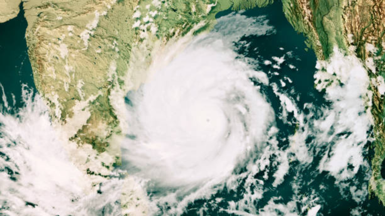
- Cyclone 'Akwan' has become active in the Bay of Bengal.
- A severe low pressure area has developed into a cyclone.
- Currently, the cyclone is 610 km east of Chennai.
New Delhi : From last few days there is a drastic change in the atmosphere. Cyclone Akwan is seen becoming active in the Bay of Bengal. According to the India Meteorological Department, the system has transformed from a severe low pressure area into a cyclone. It is currently about 610 km east of Chennai, 660 km southeast of Machilipatnam, 670 km south-southeast of Visakhapatnam and 790 km south of Gopalpur in Odisha.
It has been almost stationary or moving slowly in the north-northwest direction for the past few hours. According to Andhra Pradesh State Disaster Management Authority Managing Director Prakhar Jain, this cyclonic system may turn into a severe cyclone by this evening. Moderately favorable atmospheric conditions such as warm sea surface temperatures and moderate wind speeds are contributing to its intensity. Cyclone Akwan will intensify into a very severe cyclone by Thursday morning, according to the Met department forecast. It will move in a west-northwest direction and hit the Andhra Pradesh coast between Nellore and Tuni on Friday afternoon.
At the time of the cyclone, the wind speed will be 120 to 130 km per hour, while the wind gusts are likely to reach 145 km per hour. This is the third cyclone to hit Andhra Pradesh in the last few weeks. Cyclones Arnab and Murasu had also affected the state earlier. This system is likely to move towards Machilipatnam. However, it can change the place of impact. Sea levels may rise by one to two meters in coastal areas, creating a risk of flooding in low-lying areas.
Prediction of Rainfall and Effects
Due to this cyclone, heavy rain is likely to occur at some places in coastal Andhra Pradesh on Wednesday. Heavy rain is expected on Thursday and Friday, with more than 20 centimeters of rain expected in some districts. Rain and storm warning has also been issued for Tamil Nadu, Odisha and South West Bengal.
Many houses may be damaged
High winds can uproot trees, down power lines and damage homes. Fishermen have been strongly advised not to venture into the sea due to rough waves in the sea. Farmers carrying out agricultural activities have also been advised to exercise caution, as their crops may be damaged.
Special preparation by Andhra Pradesh Govt
Andhra Pradesh government has intensified preparations. The Chief Minister has directed the officials to be vigilant and take necessary measures. Disaster management teams are working. People in coastal areas have been advised to be vigilant and take necessary precautions. For help, you can contact the WhatsApp number 955230009.
FAQ
1. Where is cyclone 'Akwan' located now?
'Akwan' is active in the Bay of Bengal and is about 610 km east of Chennai.
2. How likely is the intensity of 'Akwan' to increase?
of the system by Thursday morning Intensified into a severe cyclonic storm It is predicted to happen.
3. Where is the cyclone likely to hit Andhra Pradesh?
Around noon on Friday Between Nellore and Tuni It is likely to hit Andhra Pradesh coast.