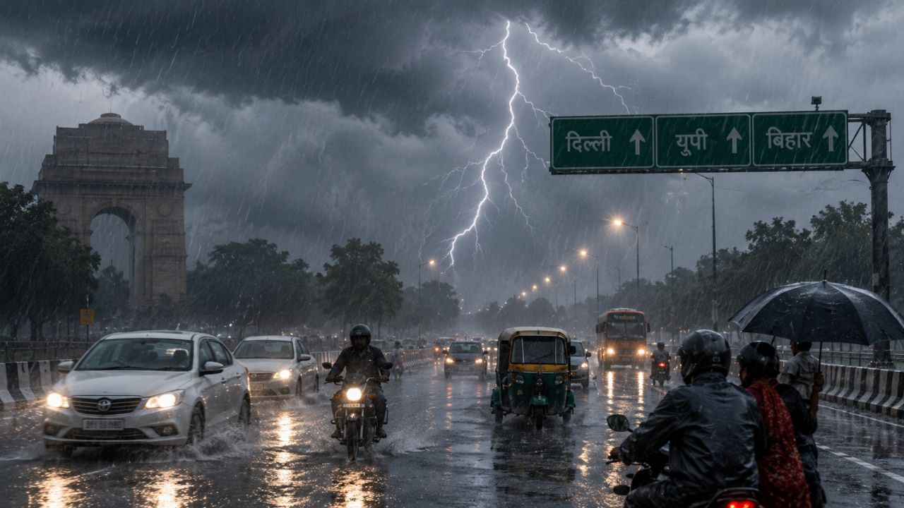
New Delhi: Monsoon is once again at its peak in many parts of the country. Amidst dark dense clouds and strong winds, the India Meteorological Department (IMD) has issued a serious warning of torrential rains in thirteen states of the country including Uttar Pradesh and Bihar today i.e. on August 25. During this period, there is a possibility of stormy winds blowing at a speed of forty to eighty kilometers per hour, which can affect normal life. Along with this, there is also a high alert of lightning and strong storm in many areas, due to which people have been advised to take special precautions. This change in weather can be a relief or a disaster for the farmers at some places.
Heavy clouds will rain in Bihar
On the other hand, the situation in Bihar is also going to be similar. A warning of heavy rain has been issued today in most parts of the state including the capital Patna, Madhubani, Muzaffarpur, Gaya, Rohtas and East Champaran. This trend will continue extensively till 25th and 26th August.
Rains are expected to continue at some places on August 27, after which a new round of clouds will again drench the entire state between August 27 and 30. This aggressive form of monsoon will continue to be seen in a large part of the country throughout this week.
Showers in Delhi, UP
There will be dense clouds in Delhi today and light to moderate rain may occur in many areas. The maximum temperature is likely to be around 34 and minimum 25 degrees Celsius. The weather will remain pleasant on 26th and 27th August also. At the same time, the rainy season has intensified in Uttar Pradesh.
Heavy rain alert is issued in many districts including Varanasi, Prayagraj, Gorakhpur, Ayodhya, Meerut, Agra, Mathura, Moradabad, Bareilly and Saharanpur. There is a possibility of heavy rain in Eastern UP from 25 to 27 August and in Western UP from 25-26 August.
Weather patterns changed due to the system over the Bay of Bengal
The main reason for the sudden change in weather is the new weather system arising from the Bay of Bengal. A strong low pressure area is active over West Bengal, Jharkhand and North Odisha. Due to this, moist winds are reaching Central India and eastern states. A trough is extending from south-west Uttar Pradesh to north Madhya Pradesh, Chhattisgarh and Jharkhand. Due to the influence of these two systems, favorable conditions have been created for cloud formation. Due to this, heavy to very heavy rains are occurring in Odisha, Jharkhand, Chhattisgarh and Madhya Pradesh. According to the latest bulletin of the Meteorological Department, among the thirteen states where it will rain heavily on August 25, Uttar Pradesh, Bihar, Uttarakhand, Madhya Pradesh, Chhattisgarh and Jharkhand are mainly included.
Flood threat in many places
Apart from this, there is a strong possibility of heavy rain in Maharashtra, Kerala, Andhra Pradesh, Tripura and Andaman and Nicobar Islands. This continuous torrential rain has increased the risk of floods in many places. IMD has clearly said that there is a strong possibility of waterlogging, landslides and flash floods in low-lying areas. Especially in many districts of Odisha, Chhattisgarh and East Madhya Pradesh, moderate flood like conditions may arise from this morning itself, due to which the traffic system may get disrupted badly.