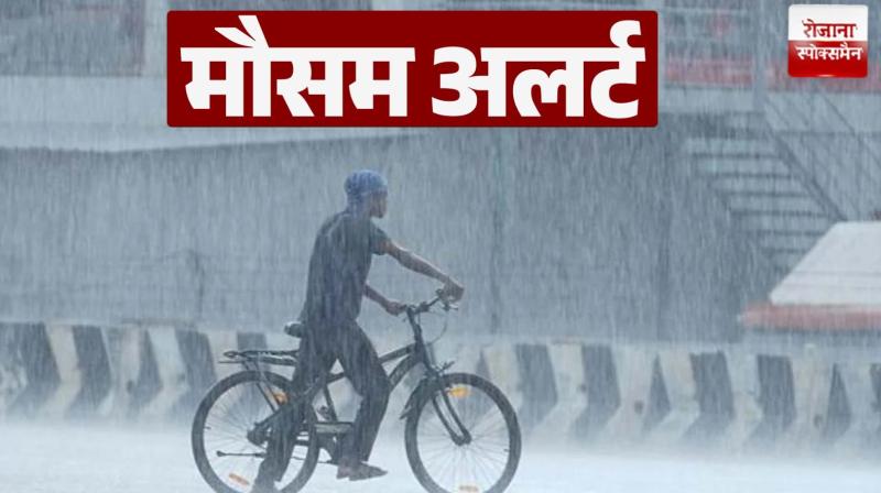
Meteorological Department appealed to the people to be cautious
Bhubaneswar, (Language) Heavy rains have been continuing in Odisha for the last 24 hours due to the transformation of the low pressure area formed in the Bay of Bengal into an “extreme deep pressure area”. India Meteorological Department (IMD) gave this information on Thursday.
The Meteorological Department has issued a 'red alert' of extremely heavy rain across Odisha. The National Weather Agency said, “The extremely deep low pressure area formed over the North Bay of Bengal and the adjacent Bangladesh-West Bengal coast has moved towards the north-west direction. It is likely to move in north-west direction towards Jharkhand through the western part of Ganga and may turn into 'Avadab' during the next 12 hours.
The Meteorological Department on Thursday issued a 'red alert' due to heavy rains in the entire state of Odisha, saying that due to this system formed in the Bay of Bengal, the western part of Ganga, Chhattisgarh and Jharkhand will also be affected. In view of the weather conditions, the Meteorological Department has advised fishermen not to venture into the sea in North Bay of Bengal and around the Odisha-West Bengal-Bangladesh coast till August 14.
According to the Bhubaneswar-based Meteorological Centre, Bhogarai in Balasore district received the highest rainfall of 236 mm, followed by Shyamakhunta in Mayurbhanj district at 230 mm, Baripada at 215 mm and Rajghat in Balasore at 204 mm.
Balasore city recorded the highest rainfall of 137 mm till 5.30 am on Thursday, while very heavy rainfall was reported from Simlipal hills of Mayurbhanj. Due to heavy rains in Mayurbhanj, the water level of rivers like Budhabalanga and Jalka in Balasore district has increased.