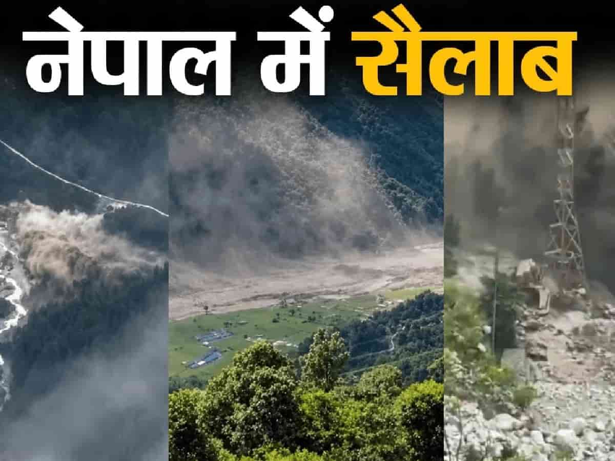
Generally, heavy monsoon rains or cloud burst incidents are considered responsible for such sudden floods in the Himalayan regions, but this time the report of scientists has rejected all these traditional beliefs. According to the report, this disaster in Nepal was not caused by excessively heavy rainfall or cloudburst. The main reason behind this has been considered to be the sudden movement of massive snow, huge rocks and heavy debris in the mountain ranges situated at the height of the Himalayan region. Preliminary studies by scientists have made it clear that this disaster was not due to any single cause, but was the result of a complex geological process, which endangered thousands of lives within a few minutes. Huge chunk of ice and rocks broke from a height of 5200 meters in Langtang-Lirung area. Intensive study by scientists and analysis of satellite images have revealed that the disaster originated from an extreme height of about 5,200 meters in the Langtang-Lirung area of Rasuwa district. At around 8:37 am on August 26, a huge chunk of ice and rocks in that area suddenly broke from its place and fell downwards with great speed. This huge debris fell directly into the Lhende river and from there its strong flow reached Trishuli river via Bhotekoshi river. Along with the water, this flow also carried a huge amount of rocks, soil, mud and river sediment, due to which the destructive power of the water increased manifold and the river bank areas were transformed into heaps of debris. No evidence of glacial lake bursting was found, scientists rejected the theory. In the initial hours of the disaster, it was feared that perhaps this devastation might have been caused by a Glacial Lake Outburst Flood (GLOF), i.e. the sudden bursting of a glacial lake, but detailed investigation by scientists has completely rejected this possibility. The researchers closely studied satellite images, meteorological department data, reports related to hydrology, geographical structure of the land and changes in altitude and slope in the river system. This scientific analysis has not found any direct or indirect evidence of the bursting of any glacial lake. The satellite images clearly showed major geomorphic changes in an area of about 10 square kilometres, and also indicated that a part of a glacier spread over an area of about 0.56 square kilometres, had broken away from its original place. Travel of 22 kilometers in just 7 minutes, debris moved at a speed of 167 km per hour. The most frightening feature of this flood was its extraordinary and terrifying speed, which did not even give people a chance to recover. According to scientists' estimates, this huge flood of snow, rocks and debris covered a distance of about 22 kilometers and reached Rasuwagadhi in just over seven minutes. During this period, the average speed of this flow was estimated to be about 46.3 meters per second i.e. about 167 kilometers per hour, which was faster than any express train. However, as the debris moved forward, its speed did decrease somewhat; For example, between Rasuwagadhi and Betravati, its speed reduced to about 73 kilometers per hour and while moving forward near the plains, the flow reached about 22 kilometers per hour. Despite the low speed, the sheer volume of this debris destroyed everything in its path. Questions raised on the theory of heavy rains, strange signs of falling water level found. The study has also revealed that there is no concrete evidence of exceptionally heavy rains in the upper catchment areas on the day of the incident, which further weakens the possibility that the entire disaster was caused only by excessive rains. In contrast, scientists found that just hours before the disaster, the water level and normal flow of the river at Rasuwagadhi and Syafraubesi had suddenly dropped. According to the report, the average water level in Rasuwagadhi had dropped between 5 am and 8 am, while the river flow in Syafrubesi started receding around 7 am. Experts are still investigating in depth whether due to a landslide in the upper mountainous region, the river water had stopped temporarily for some time and after creating a situation like a dam breaking, it fell down in huge quantities simultaneously. Nepal's hydropower sector suffered huge economic loss, 13 projects affected. This devastating flood not only affected human lives and settlements, but also caused huge damage to Nepal's infrastructure and energy sector. Citing preliminary data from Nepal Electricity Authority, the study said that a total of 13 hydropower projects and one solar power project have been seriously affected by this disaster. Due to the stalling of these important energy projects, the power generation capacity of about 431 MW has been completely taken out of the power system, which has had a deep impact on the country's energy crisis and economic development. Scientists and disaster management experts believe that the real and complete assessment of the environmental, economic and structural damage caused by this terrible disaster will be fully clear only after a detailed investigation to be conducted in the future.