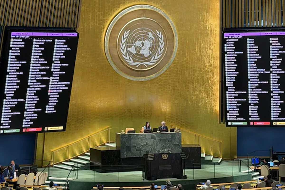
The world map used for almost five centuries is changing now! A resolution was passed by the United Nations General Assembly on Saturday. And that's why it was decided to use the new map called 'Equal Earth'. This map will show Africa on a larger scale. North America and Europe will be shown smaller in comparison.
165 countries participated in the vote on the proposal. Among these, only the United States voted against the proposal, while the rest of the countries voted in favor of the proposal. 6 countries abstained from voting. The proposal was passed by a vote of 164-1. The traditional 'Mercator Map' was created in 1569. Created by Gerardus Mercator. This map was created to ensure that the seafarers do not have any problems in their navigation. However, showing the spherical earth on a flat map violates the balance of the relative volumes of the continents. For example, Africa is shown almost equal to Greenland on this map. But the real picture is completely different. Africa is about 14 times larger than Greenland. The new map takes into account the relative size of the continents. Incidentally, the largest continent in terms of area is Asia. The smallest is Oceania.
Congratulations to the delegation of Togo
on the adoption this morning by the #UNGA of resolution A/80/L.104, “Correct the Map”, an @_AfricanUnion initiative promoting more accurate and equitable global cartographic representation, particularly of #Africa.
A significant… pic.twitter.com/oxZCbeMUTt
— African Union Mission to the UN (@AfricanUnionUN) September 4, 2026
Note that this proposal was presented by the African country of Togo. The country's foreign minister, Robert Ducey, said maps guide education and feed the imagination. But the world map used illustrates a misconception. So change it. America is the only one opposed to this proposal. But why? According to Washington, it may be the UN's job to stop the debate over the sixteenth-century map. Rather, it is preferable to focus on the global issues of the moment. America will oppose the 'ideological agenda' of the United Nations with this map, claims US representative Yarina Ferensevich. However, it is good to say that even though the proposal has been passed, the use of 'Equal Earth' has not been made mandatory.